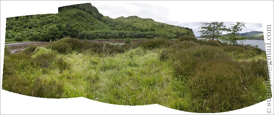
Canmore records a 'wheelhouse' [which I thought was a kind of stone roundhouse divided and sectioned by radiating inner walls] on the promontory which shelters it. The description on Canmore doesn't sound much like that, though - it simply talks of a number of individual cells radiating out from the centre.
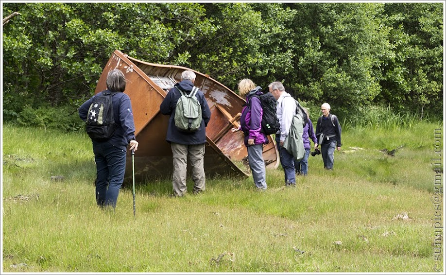
After a somewhat boggy scramble, we emerged on the shoreline where a couple of iron boats quietly rusted. One of our group reckoned they started life as lifeboats on a passenger ship.
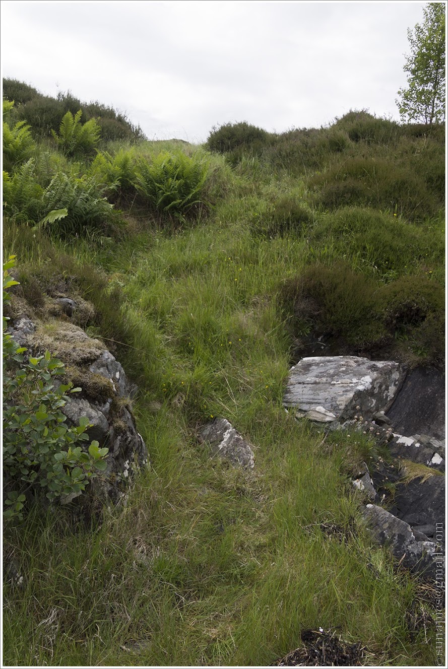
We found what might have been steps upward,
What we found on the top (if we were even in the right place, of course) was even less convincing - it seemed more like eroded gullies between higher seams of rock than man-made cells. So jury's out on that one.
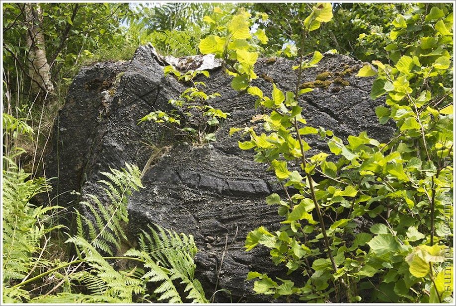
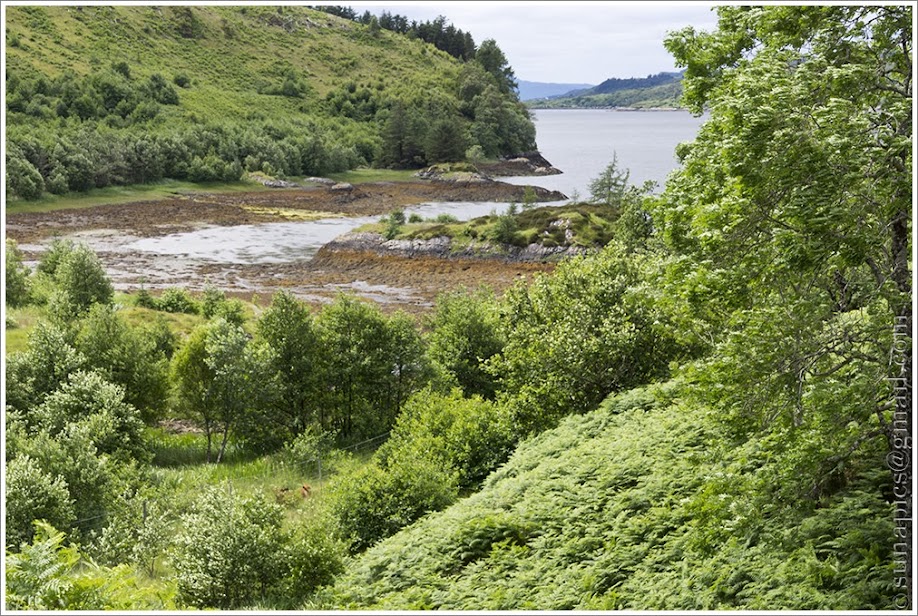
We explored the headland, finding rocks that might have been standing stones or just extrusions or randomly dropped by a glacier, others that could have been hand-carved ... or not ... and that, strangely, the GPS readings were wrong on both Joy's Garmin gadget - which claimed the spot she was taking us to was in the sea - and (when I got home) on my photo-tags. Very weird.
We were trying to locate a rock with possible bait-holes. We did, eventually, find something that might have been it, close to the ferry slipway - but, once again, it was probably natural rather than man-made.
<hr>
No comments:
Post a Comment